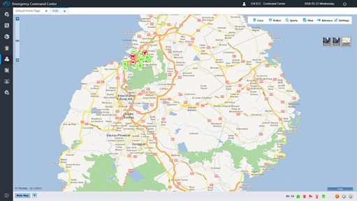
Emergency Geographic Information System(EGIS)
Emergency geographic information system (EGIS), which is based on general DS GIS service platform and combined with CAD call-taking and dispatching, voice dispatching, mobile police MDS services and information, integrates such platform services as case positioning, mobile police positioning, voice dispatching, video monitoring , providing a new mode of flat police management and command dispatching based on location information for ECC command center and police operational command. Through case source positioning service, mobile terminal GPS positioning information, case information, video monitoring system integration, voice dispatching on the map and other services, it realizes the whole process of call-taking and dispatching support on the map.
The emergency geographic information system can display all kinds of emergency command information visually, conduct query and analysis comprehensively, and provide auxiliary decision-making function.